You signed in with another tab or window. Reload to refresh your session.You signed out in another tab or window. Reload to refresh your session.You switched accounts on another tab or window. Reload to refresh your session.Dismiss alert
🗺 Get ISO 3166-1 alpha-3 country code from geographic coordinates.
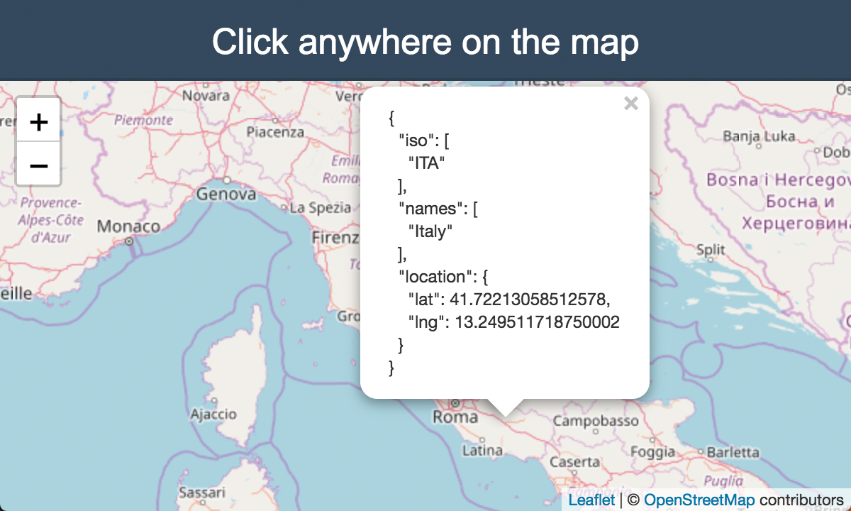
Click on the map to see a live preview.
Synopsis
Given the latitude and longitude coordinates this package returns the country code of the country in which the coordinates fall into.
The package internally uses @geo-maps/countries-maritime map with 10m resolution to give you the right country code.
The accuracy of the map has been tested with 23785 cities but the demo allows you to actually test it manually by just clicking on the map to see what it returns.
You can query any (lat,lng) pair on the earth. It also works for territorial waters and disputed countries.
constcountryIso=require('country-iso');// Query a point in Italy.countryIso.get(41.9028,12.4964);// => ['ITA']// Query a disputed country.countryIso.get(24,-14);// => ['ESH', 'MAR']// Query a point somewhere in Atlantic Ocean.countryIso.get(40,-40);// => []
API
get(lat, lng) ⇒ Array.<string>
Searches for every country which contains the point (lat, lng).
Returns: Array.<string> - Array of ISO 3166 alpha-3 country code for the geographic
coordinates.
Param
Type
Description
lat
number
The latitude of the point.
lng
number
The longitude of the point.
Related
is-sea: 🌊 Check whether a geographic coordinate is in the sea or not on the earth.