You signed in with another tab or window. Reload to refresh your session.You signed out in another tab or window. Reload to refresh your session.You switched accounts on another tab or window. Reload to refresh your session.Dismiss alert
CloudnetPy is Python software designed for producing vertical profiles of cloud properties from ground-based
remote sensing measurements. The Cloudnet processing combines data from cloud radar, optical lidar,
microwave radiometer, and numerical weather prediction models.
Measurements and model data are brought into a common grid and
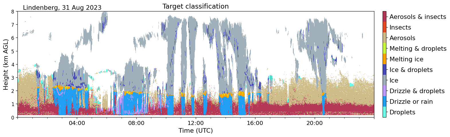
classified as ice, liquid, aerosol, insects, and so on.
Subsequently, geophysical products such as ice water content can be
retrieved in further processing steps. See Illingworth et al. (2007) for more details about the concept.
CloudnetPy is a rewritten version of the original Cloudnet MATLAB code. It features several revised methods, extensive documentation, and more.
If you wish to acknowledge CloudnetPy in your publication, please cite:
Tukiainen et al., (2020). CloudnetPy: A Python package for processing cloud remote sensing data. Journal of Open Source Software, 5(53), 2123, https://doi.org/10.21105/joss.02123
Contributing
We encourage you to contribute to CloudnetPy! Please check out the contribution guidelines about how to proceed.
Development
Follow the installation instructions from the source above but install with the development dependencies and pre-commit hooks: